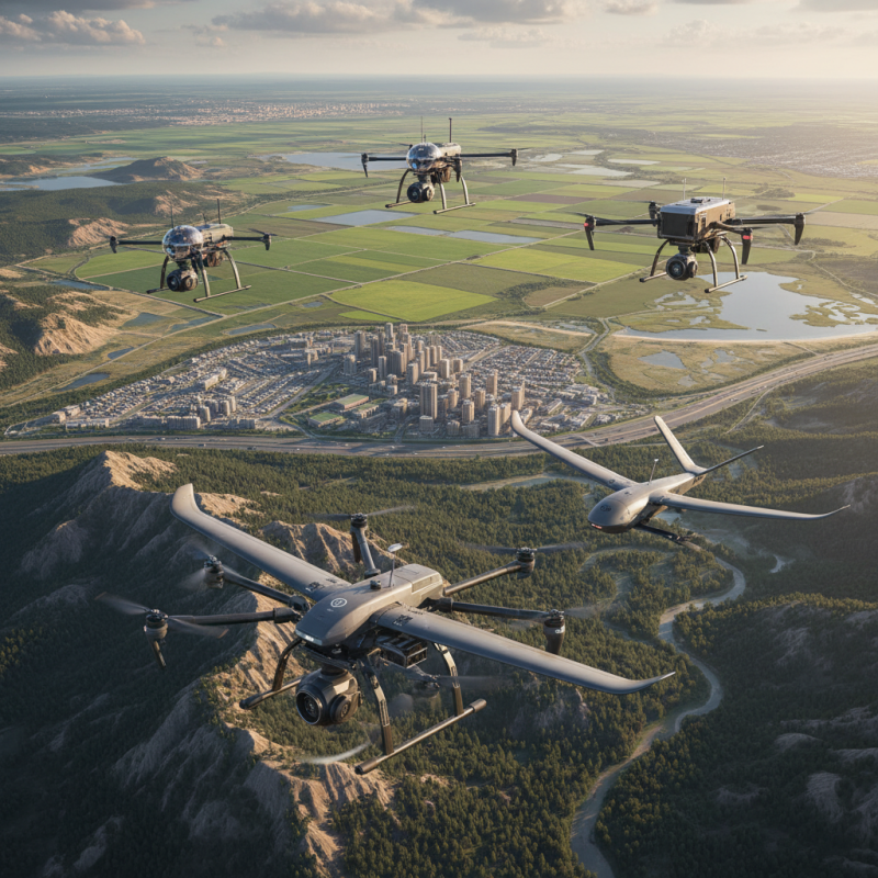
Top 5 Drones With Lidar Camera for Accurate Mapping?
The integration of drone technology with Lidar camera systems is revolutionizing mapping accuracy. A Drone With Lidar Camera captures detailed topographic data, essential for various industries. This technology offers precision in landscape analysis, urban planning, and environmental monitoring.
Mapping with Lidar-equipped drones provides numerous advantages. They operate quickly and cover vast areas. The data collected can reveal features invisible to the human eye. However, challenges exist, such as the high cost and complexity of these drones.
As we explore the top five drones with Lidar cameras, it is essential to consider their capabilities and limitations. Each model brings unique strengths to the table. Evaluating these will help users make informed decisions about which Drone with Lidar Camera best meets their needs.
Overview of Lidar Technology and Its Benefits for Mapping
Lidar technology stands out for its precision in mapping applications. By emitting laser pulses, it captures the distance to objects with remarkable accuracy. This ability to create detailed, three-dimensional topographical maps is invaluable in various industries. Surveyors benefit greatly from Lidar's ability to gather vast amounts of data rapidly.
The benefits of integrating Lidar with drones are significant. Drones equipped with Lidar sensors can access hard-to-reach areas, offering detailed insights into terrain and vegetation. This fusion enhances environmental studies, urban planning, and construction projects. However, using this technology is not without challenges. The equipment can be costly, and interpreting the data requires specialized expertise.
Despite these drawbacks, the advantages are clear. Enhanced accuracy and efficiency make Lidar a go-to choice for precise mapping. The potential for innovation remains high, but the industry must address its limitations. Ongoing training and investment in equipment are essential for professionals looking to harness Lidar's full potential. As technology evolves, so too will the opportunities it presents for mapping applications.
Factors to Consider When Choosing Drones with Lidar Cameras
When choosing drones equipped with Lidar cameras, several critical factors come into play. One of the most important aspects is the type of Lidar technology used. Different systems, such as single-return and multi-return Lidar, offer varying levels of detail. For complex terrains, multi-return systems are often more effective, capturing details in dense forests or urban areas.
Battery life is another crucial consideration. Drones with longer flight times allow for extensive mapping sessions without frequent recharges. This feature enhances productivity, especially in large areas. Additionally, the payload capacity should be evaluated. A heavier Lidar unit may require a more robust drone, impacting its flight stability and endurance.
Finally, user-friendliness cannot be overlooked. A drone that is difficult to operate can lead to errors in data collection. Features like automated flight paths can streamline the mapping process. It's essential to balance advanced features with ease of use, ensuring that the technology serves its purpose effectively. Thoughtful reflection on these factors will lead to better results in mapping projects.
Top 5 Drones for Accurate Mapping with Lidar Technology
Drones equipped with LiDAR technology are transforming mapping accuracy across various industries. According to a report from MarketsandMarkets, the global LiDAR market is projected to reach $1.28 billion by 2026, highlighting the technology's growing importance. LiDAR sensors can capture high-resolution data, enabling precise mapping of landscapes, infrastructure, and natural resources.
These drones collect detailed elevation data by emitting laser pulses and measuring the time it takes for the light to return. For instance, they can create 3D models of terrain with an accuracy within centimeters. This level of precision is essential in sectors like forestry, where understanding tree height and density can inform sustainable management practices. Despite its advantages, the cost of high-quality LiDAR drones may limit accessibility for smaller organizations.
Furthermore, while LiDAR technology offers incredible detail, it presents challenges. Collecting data in dense environments, like urban areas, might yield complex results. Shadows created by buildings can obscure the terrain below, leading to potential inaccuracies. Continuous calibration and skillful operation are crucial in maximizing data quality. Users must weigh the benefits against these limitations for optimal results.
Top 5 Drones with Lidar Cameras for Accurate Mapping
Comparison of Features and Specifications of Each Drone
When exploring drones equipped with Lidar cameras, it’s essential to compare their features and specifications. Each drone varies in performance, sensors, and usability. One might weigh speed against resolution. For instance, some drones boast an impressive range but may sacrifice detail in their maps. It’s crucial to identify your primary needs before making a decision.
Considering the mapping workload, battery life becomes vital. Some drones operate longer, suitable for extensive area coverage. However, longer flights might indicate heavier payloads, which can impact maneuverability. Look for the balance that fits your operational style. High-resolution imagery is excellent, but it should not come at the cost of lagging data processing speeds.
Tips: Always check the compatibility of Lidar sensors with your software tools. Integration issues can lead to delays and frustrations. Additionally, consider the terrain where you’ll be working. Complex landscapes might require drones with advanced navigation features. Remember, not every drone is suited for every task. Take time to understand how each drone performs under different environments.
Real-World Applications of Drones with Lidar Cameras in Mapping
Drones equipped with Lidar cameras have revolutionized mapping across various industries. These advanced drones use laser technology to measure distances. They create highly accurate digital elevation models. A report by MarketsandMarkets indicates that the global Lidar market is expected to reach $1.25 billion by 2026. This growth reflects the increasing demand for precision in land surveying and forestry management.
In real-world applications, Lidar drones excel in generating detailed topographical maps. For instance, they help forestry professionals assess tree height and density. An accuracy rate of up to 95% is achievable, notably improving traditional ground surveying methods. However, some challenges persist. Weather conditions can affect data quality, and the cost of equipment remains a concern for smaller enterprises.
Moreover, there are concerns about the steep learning curve associated with Lidar technology. Proper training is essential for users to leverage the full potential of these drones. The potential for errors increases without thorough understanding. Industry experts recommend investing in education and practice to ensure reliability in data interpretation. Despite these challenges, the benefits of using Lidar-equipped drones for mapping are evident and continue to expand across sectors.